Maps and Legends

I’ve been creating maps for facilities, events, transportation and museums since 2004. Either as an individual illustrator or on a team. My approach is to create a map that is both branded to the client as well as functional to the visitor.

January 2023: Map by Lin Wilson of the new and completely restored Seven Acres Dairy in Paoli, Wisconsin

Map by Lin Wilson of the Minneapolis Institute of Art, in Minneapolis, Minnesota

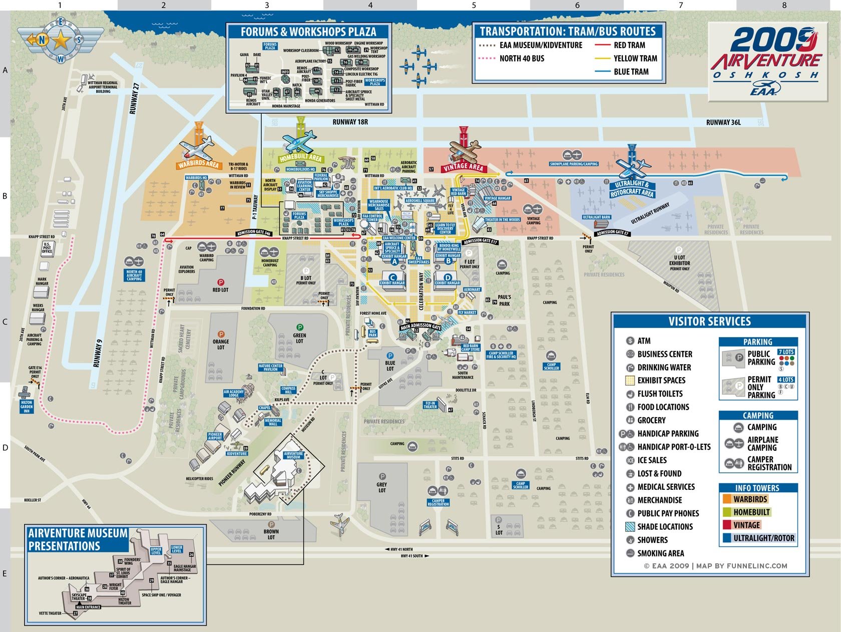
Map by Lin Wilson of EAA Airventure in Oshkosh, Wisconsin

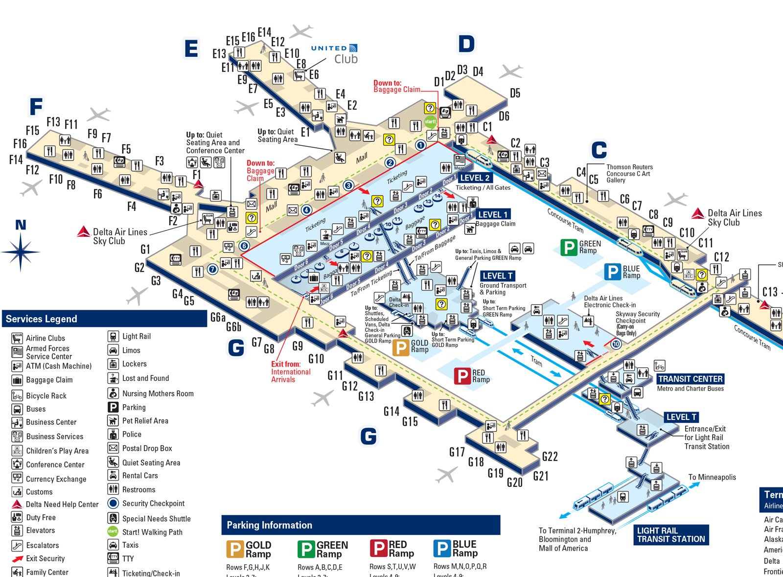
Mapping MSP (Minneapolis St. Paul airport). Design and Illustration by Lin Wilson, Curtis Whaley and John Nichols.

MSP map, Terminal 1

Milwaukee Art Museum campus map: Information Designer and Illustrator: Lin Wilson, Illustrator: Curtis Whaley

I love mapping places. As a kid, I loved the Six Flags theme park map. It’s so cool to do this sometimes for a living. Occasionally I will create a map for a client, I call this area of my practice, “Maps and Legends.”

“One of my favorite research tools is to ask floor staff what they think the problem areas are in their facility. They see issues everyday, like people not finding the exit or a bathroom, or just getting confused by the architecture or wayfinding, or lack of. Their insights are gold.” - Lin Wilson

Maps are copyright by various holders. None of the maps on this page are to be relied on for guidance as there may be more updated versions at the client sites.

Map for Ten Chimneys Estate in Wisconsin by Lin Wilson. Agency, Branding and Typography: Planet Propaganda

Maps for the Minneapolis Institute of Art interactive exhibit on Africa. Illustrators: Lin Wilson, Daniel Huffman